Hilsea to Emsworth |
Introduction
This walk begins from the Northern Edge of Portsea Island at Hilsea, returning to Langstone Harbour and crossing the bridge back onto the main land and on to Farlington Marshes. The path rounds the unspoilt marshes then continues on the banks of Langstone Harbour to skirt the edge of Havant before coming to the beautiful village of Langstone, by the bridge to Hayling Island, and on around the banks of Chichester Harbour to finish at the town of Emsworth on the Sussex border, the end of the Solent Way.
Getting to the Start
Hilsea is at the northern edge of Portsmouth, just on Portsea Island. From the M27 continue onto the A27 and at the first junction turn onto the A2030 (signed Portsmouth West). Join the right-hand lane to turn right into the first road, Anchor Road at the traffic lights. Once on this road it's best to look for parking. There is a car park at the Safeway Store and at some of the units on the Business Park further along Anchorage Road, but check for any restrictions on length of visit, private car park etc. before leaving your car. If none of the car parks are suitable you should be able to find on-street parking on the residential streets of Anchorage Park.
If you are travelling by public transport the nearest access to the path is from Hilsea station. Hilsea is served by stopping trains on the London Waterloo to Portsmouth route (operated by South West Trains), the Southampton to Portsmouth line (also operated by South West Trains) and the Seaford / Brighton / Littlehampton to Portsmouth Coastway route (operated by Southern). All these services run at least hourly Monday - Saturday, with a more limited service on Sunday (generally no trains on the London to Portsmouth route stop at Hilsea on Sundays). From London it can often be quicker to take a fast Portsmouth train to Havant and change there for a local train to Hilsea. From Hilsea station climb the steps onto the road bridge above the station and turn right into Norway Road, straight on into Anchorage Road, continuing on the same road at the next roundabout. Cross the busy A2030 to rejoin the Solent Way.
The Walk
Re-join the Solent Way by the works at Kendalls Wharf, passing through trees just after the wharf and then returning to the side of Langstone Harbour by the road.
 |
 |
| Langstone Harbour | Langstone Harbour |
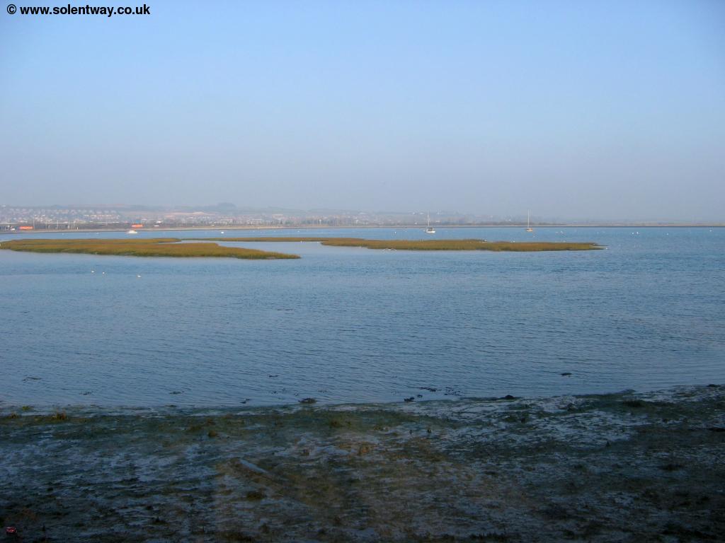
Soon the path joins the pavement beside the road to cross the bridge that carries the road and Solent Way over Port Creek, leaving Portsea Island. As you come towards the roundabout under the busy A27 turn right into the small access road into a car park, and follow the (initially tarmac) path at the back of the harbour, with the A27 to your left.
 |
 |
| Langstone Harbour | The Solent Way at Langstone Harbour looking ahead |
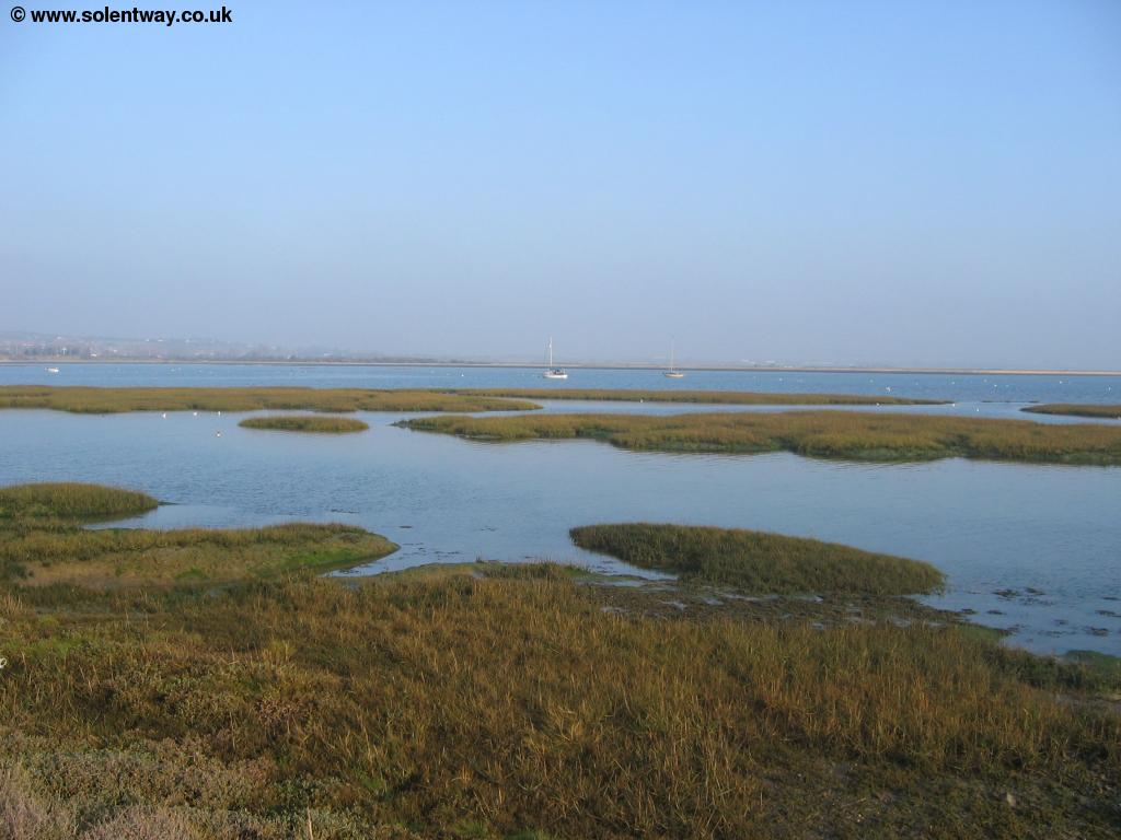
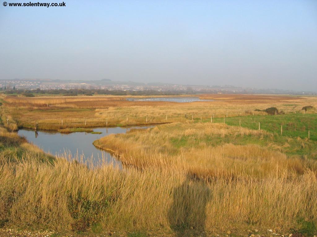
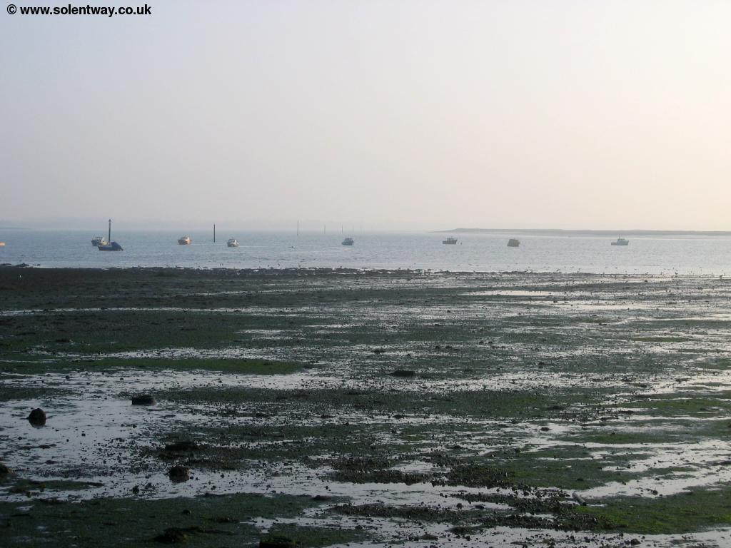
Soon you reach the car park at the edge of Farlington Marshes, which you have to cross onto in order to pass through the gate into the nature reserve. Farlington Marshes is a beautiful and popular nature reserve where you can see a wide variety of wildlife. The Solent Way goes the whole round this small "island" giving beautiful views of the marshes and of Langstone Harbour.
 |
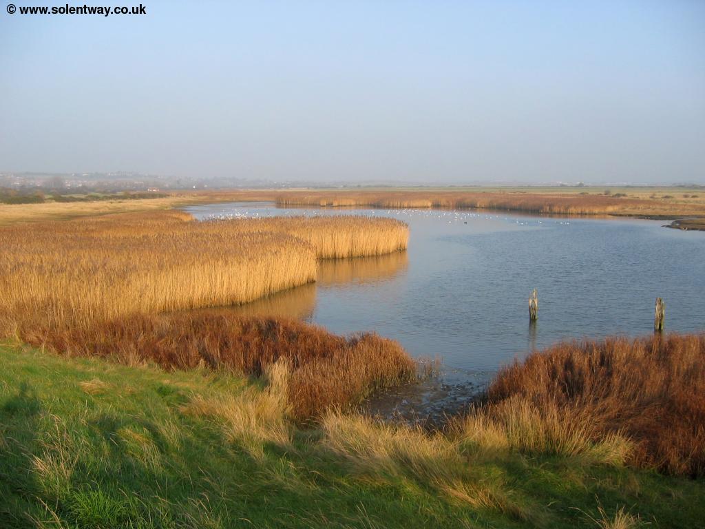 |
| Farlington Marshes | Farlington Marshes |
 |
 |
| Farlington Marshes | Farlington Marshes |
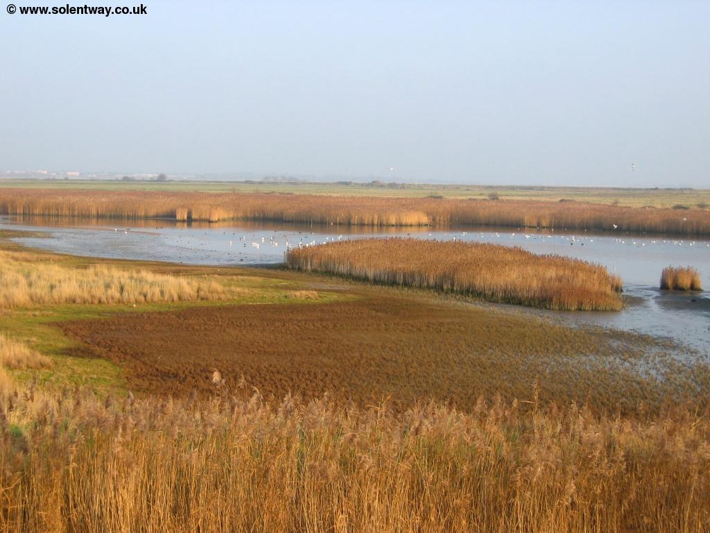
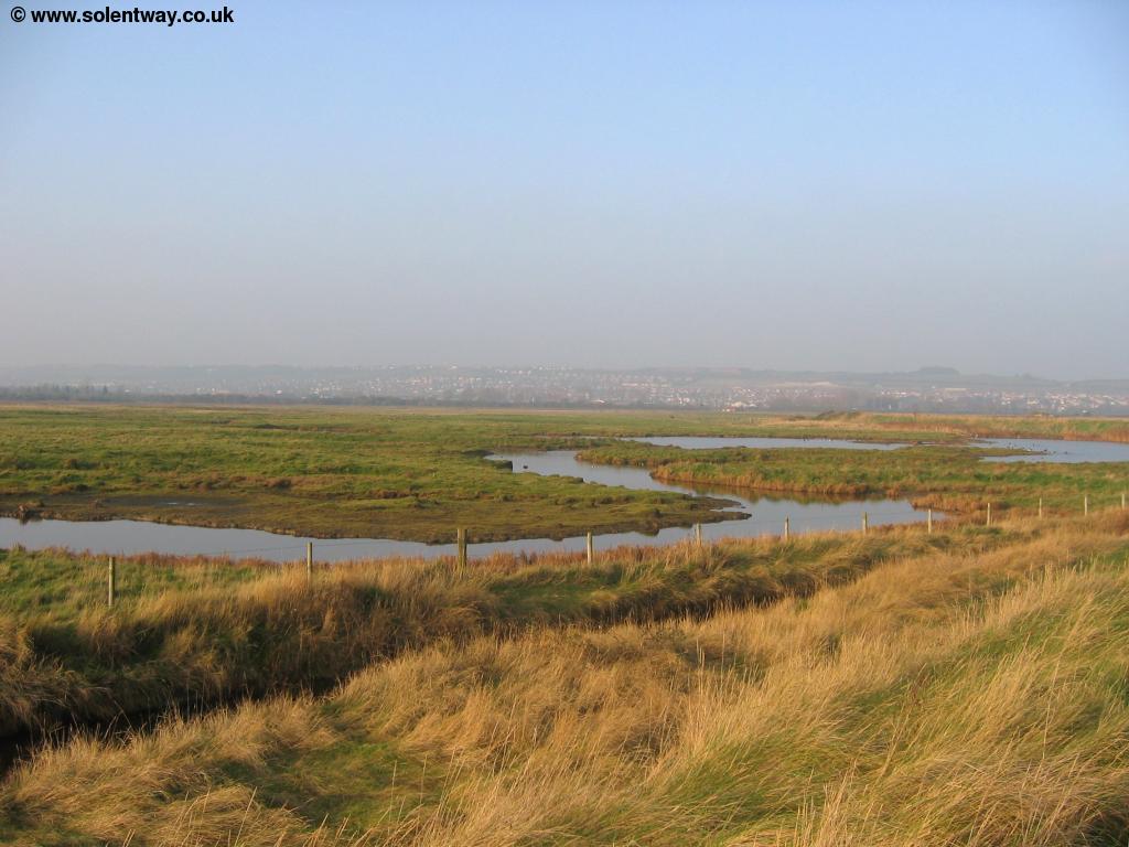
As you round the path at the bottom of the island and head back north you'll see several more smaller islands to the right, also part of the reserve, one of which even has trees growing on it.
 |
| Farlington Marshes looking East |
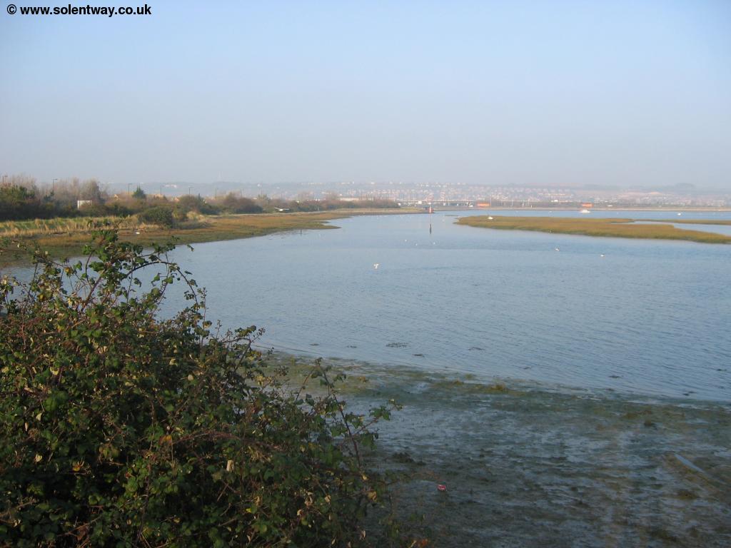
Soon the path round Farlington Marshes returns to the noisy A27 and continues around the back of the harbour next to the road, passing another small car park before the path turns to the left as you get to the Hermitage Stream on the edge of Havant. Sadly this marks the start of one of the least pleasant parts of the Solent Way as it passes through an industrial (and often derelict) area, so enjoy the view as the next mile of so is not especially nice.
 |
 |
| View over Langstone Harbour looking South | Looking East over the Hermitage Stream |
Turning to the left you now see what appears to be a gravel works at the point where the stream splits into the Hermitage Stream (to the left) and the Brockhampton Stream (to the right), marking the start of the industrial parts of the walk.
 |
| The industrial landscape ahead |
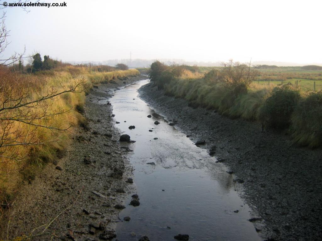
Follow the path along the side of the stream. You'll probably notice a rather unpleasant smell here, as there is a Sewage Works on the other side of the stream. Continues until you get to the first bridge then turn to the left and climb onto the bridge over the stream next to the road (Harts Farm Road). Continue next to the road once over the bridge passing through the middle of an industrial estate, much of which appears to be derelict. Just as you get to a junction of roads look out for the sign to the right which follows the edge of the Brockhampton Stream past the electricity works and Sewage Works to the opposite bank, thankfully the end of this urban section of the path.
 |
| The Hermitage Stream from it's East Bank |
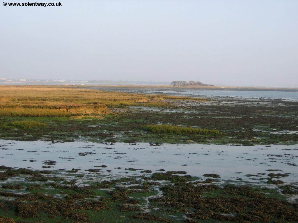
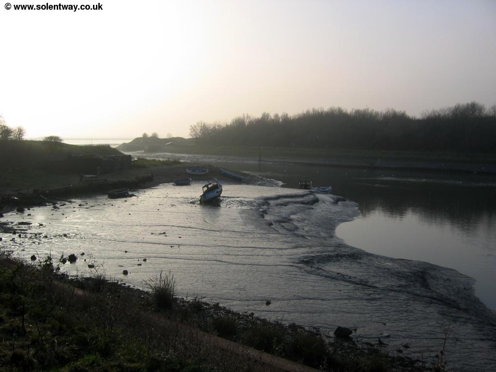
Sadly the water appears to be polluted from the sewage works nearby here, as there is an outfall marked on the map and signs warn Water not suitable for bathing and Contaminated Shellfish as you rejoin the coast. The path runs along the back of the beach here, but at one point drops down to the gravel at the back of the harbour, offering lovely views over the harbour. Soon you see the buildings of Langstone and the bridge to Hayling Island ahead, but the path heads a little inland to cross a small stream.
 |
| The stream near Langstone |
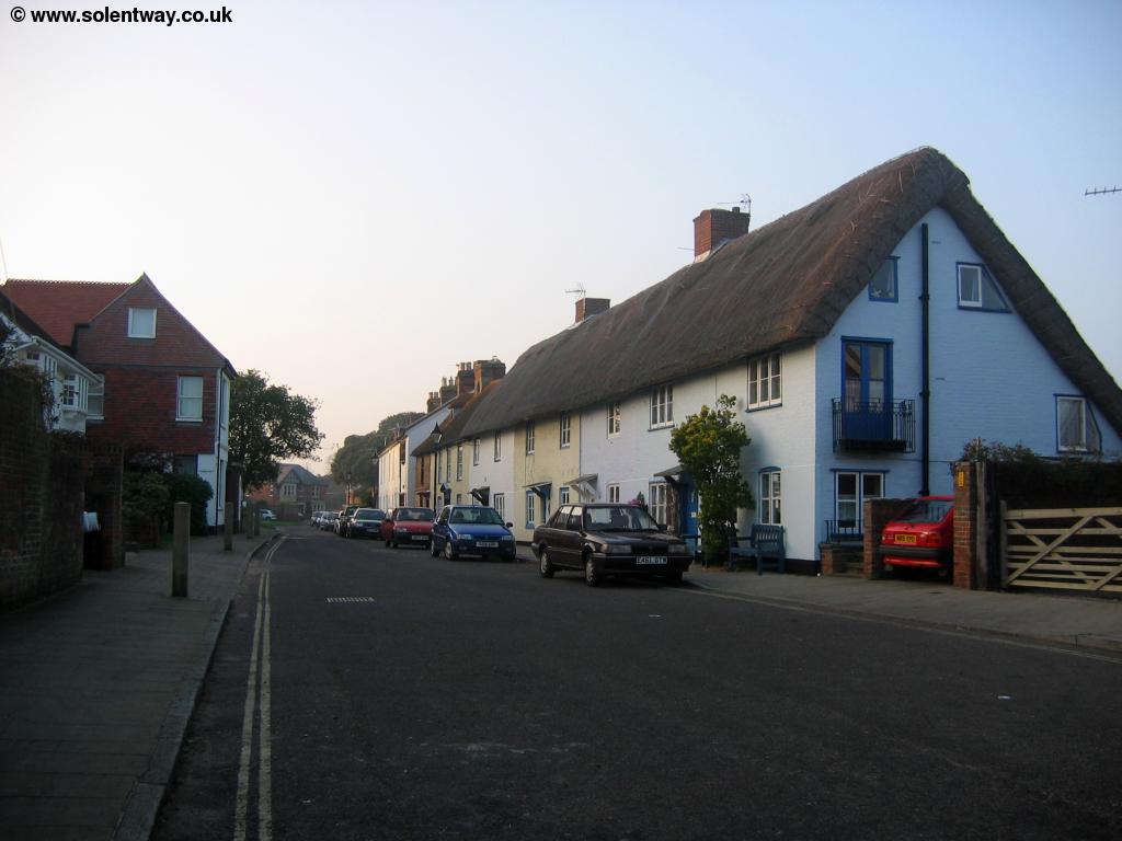
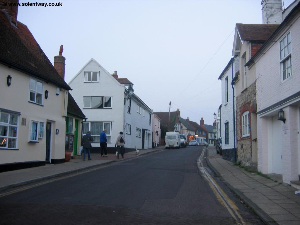
Follow the path beside the stream as it heads a little inland. The path does not cross the first bridge but crosses on another bridge a little further up, emerging into Mill Lane. As the road turns to the left, continue straight on. Here you are crossing the start of the Hayling Billy Coastal path, a coastal cycle and foot path down the west edge of Hayling Island, named after the trains that used to run from Havant to Hayling Island as the path follows the course of the railway line, which closed in 1963. Soon you get to the road (Langstone High Street), following the road past the beautiful thatched cottages to Langstone Quay, a beautiful scene with the thatched cottages, pub and lighthouse. The bridge to Hayling Island marks the transition of the harbour from Langstone Harbour into Chichester Harbour.
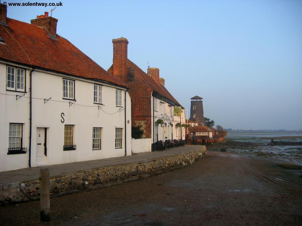 |
 |
| Beautiful Langstone | Beautiful Langstone |
 |
|
| Beautiful Langstone |
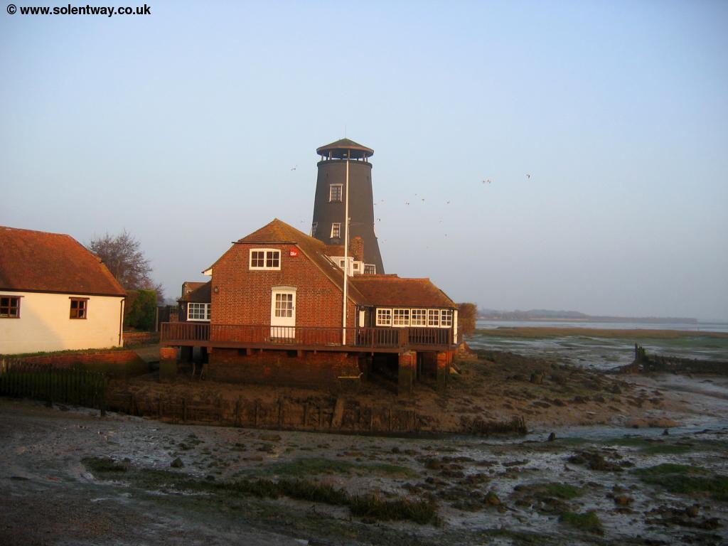
Follow the path past the Royal Oak Pub behind the harbour to round the edge of the pond of Wade Court Park, crossing a wooden footbridge. Soon the path appears to turn to the left through woods, but it does in fact continue on the shingle at the back of the beach, with upright railway sleepers protecting the land to the left. It is possible this part of the path may be impassible at high tides.
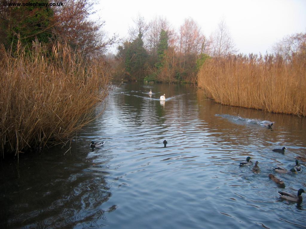 |
| Wade Court Park Pond |
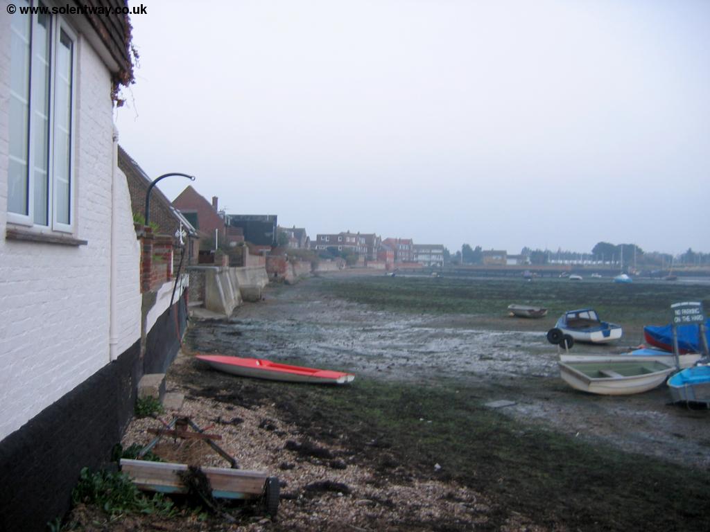
The path continues round along the back of the beach for a little while, passing a mostly buried ship wreck, where the path then rejoins the land behind the harbour.
 |
| Looking back to Langstone |
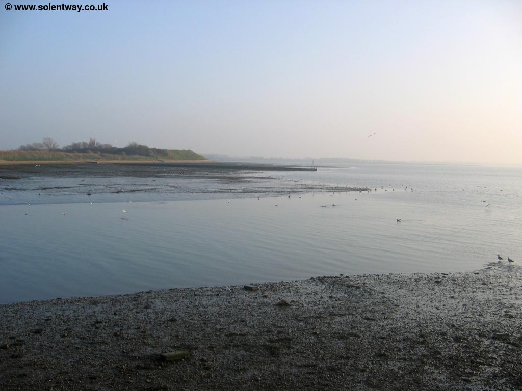
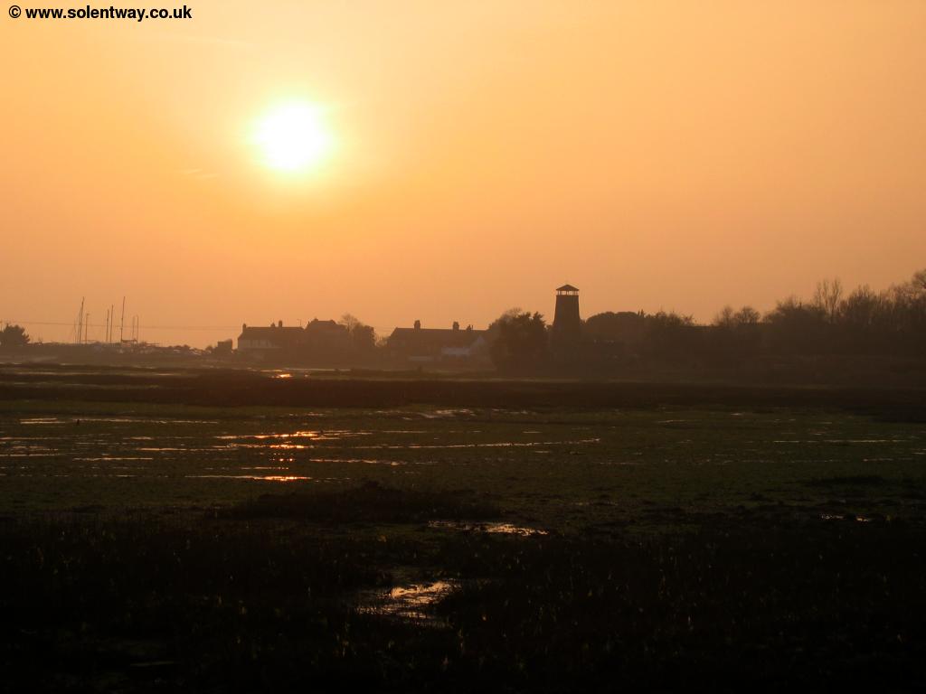
Soon you come to a sign here pointing you left away from the harbour edge, although a path does appear to continue along the coast, the sign advises the footpath does turn to the left, now heading towards the church of Warblington. Enjoy the views of the harbour here as the path does not rejoin the coast until the outskirts of Emsworth, approximately a mile ahead.
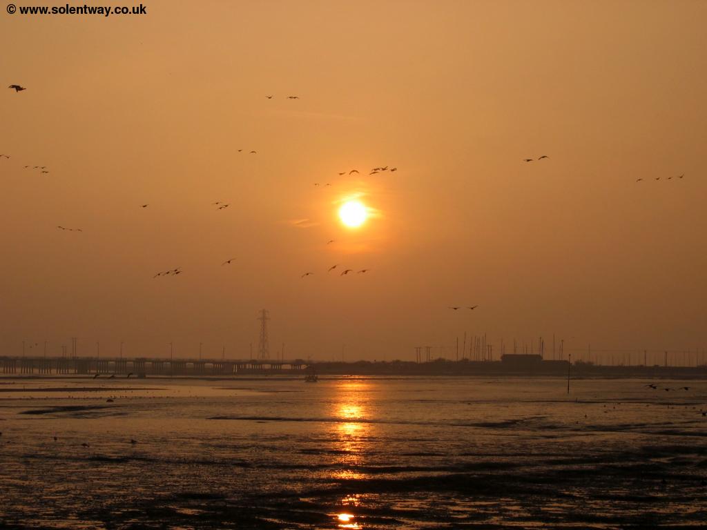 |
 |
| The sun sets over Chichester Harbour | The sun sets over Chichester Harbour |
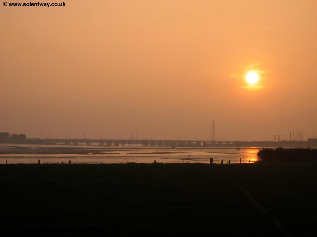
The path now heads inland over fields to the edge of the large cemetery of Warblington Church. Continue past the cemetery on your right and join the lane between the cemetery and the church, past the church. Here you can see over the cemetery to the harbour, the houses of Warblington and the remains of Warblington Castle inland. Continue on the lane as it comes into fields, the hedges on the right temporarily blocking your views out to sea. Soon you pass by the edge of a wood and emerge to see the first houses of Emsworth ahead and views of the harbour to your right once more.
 |
| The sun sets over Chichester Harbour |
Continue along the path as it comes briefly into a road, following the obvious path around the edge of the harbour, with houses to your left. Soon you come towards the tidal mill pond, now no longer used for it's intended purpose, the water is now normally kept in the pond. The path now follows the wall round the mill pond meaning that at high tide you have water on both sides.
 |
 |
| The path round the mill pond | The mill pond |
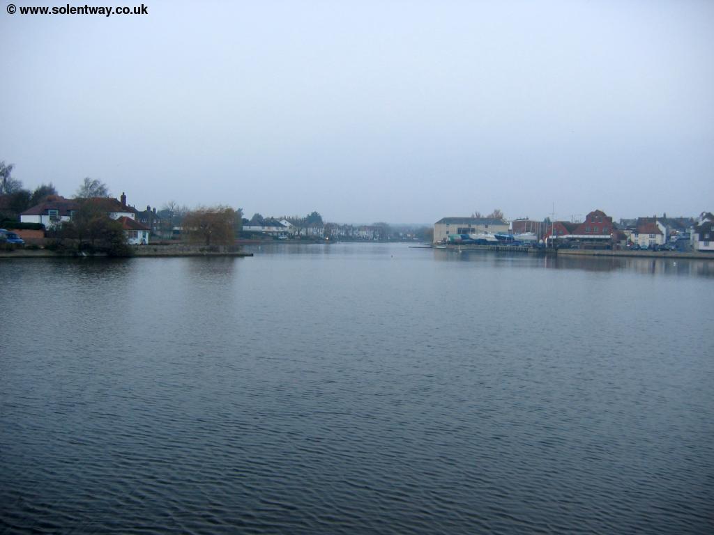
The path now rounds the mill pond wall reaching the Quay at Emsworth, the end of the Solent Way and, more or less, the end of Hampshire - to the east is West Sussex.
 |
 |
| Emsworth | Emsworth |
If you've walked the Solent Way you'll have walked around 60 miles passing through small towns, cities, quiet villages, resorts and industrial areas. To the south the Isle of Wight has been an almost constant companion, just a few miles across the Solent. If you want to continue walking along the coast you can continue on the Sussex Border Path which (as the name suggests) follows the Sussex Border, but first rounding the next "island", Thorney Island before it heads north. Alternatively, why not return to Portsmouth and take the ferry across to the island to walk it's spectacular coastal path?
Getting Back
Emsworth has a station which has hourly direct trains seven days a week back to Hilsea, operated by Southern. This trains continues onto Portsmouth to the West and Brighton or Littlehampton to the east. Southern also operate an hourly service from Emsworth to London Victoria, via Chichester, Worthing, Hove, Gatwick Airport and Croyden. If you have a long wait for a direct train to Hilsea, it can often be quicker to take the first train to Havant and change there. Stagecoach Coastline service 700 also runs frequently from Emsworth Square to Hilsea and Portsmouth and to Chichester, Bognor, Littlehampton, Worthing, Shoreham and Brighton.
Links
The following web sites provide information on the area.
Every effort is made to ensure the accuracy of information on this site, but liability will not be assumed in the event of any inaccuracies. Use of the information on this site is at your own risk. If you find any errors, please use the link below. The text and photographs on this web site are all Copyright © and may not be reproduced without prior permission.